Mali Losinj
Geography
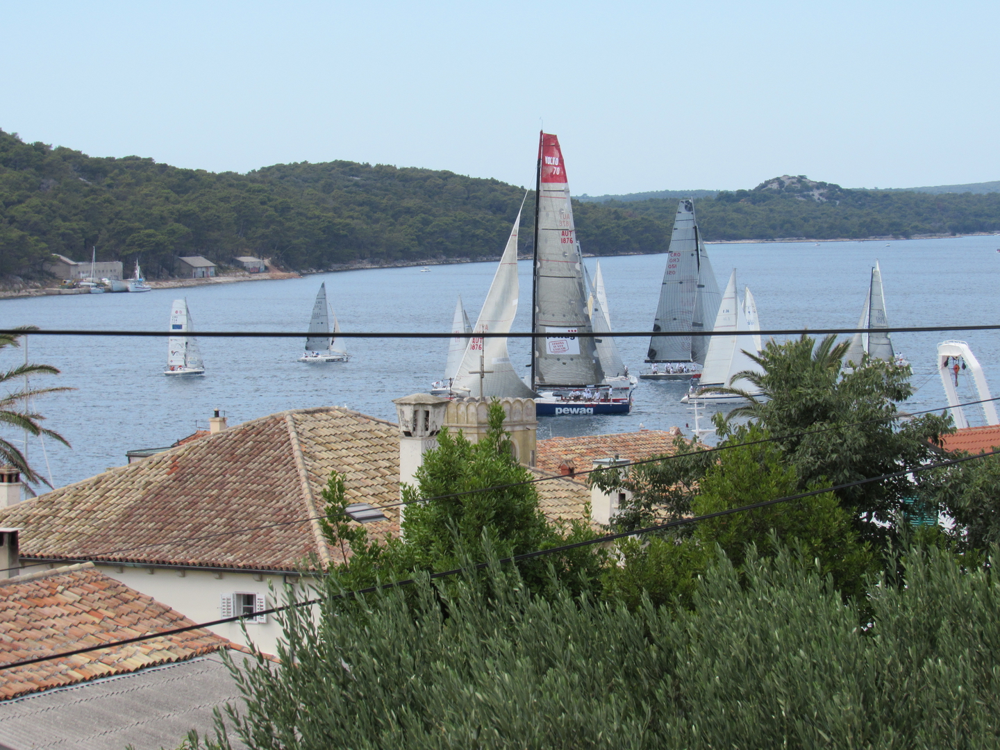
The Island of Lošinj is part of the Cres-Lošinj island group, which constitutes the western segment of the Kvarner’s islands inside the Kvarner Bay. The Kvarner Bay together with that of Trieste forms the most inland point of the Mediterranean Sea. The Cres-Lošinj island group extends in a northwest-southeast direction for 99 kilometres with a total area of 513 km2, which comprises 16% of the total area of the Adriatic islands.
The west part of the Kvarner islands consists of the following islands: Cres (409 km2), Lošinj (75 km2) and smaller islands of Unije (17 km2), Ilovik (6 km2), Susak (4 km2), Vele Srakane (1 km2), and a series of smaller uninhabited islands. The islands of this archipelago form the natural bridge between Istria and Dalmatia.
This archipelago lies in the middle of the northern hemisphere because a part of it goes through the 45th degree of the northern latitude. The biggest part of the archipelago is in the sub-tropical zone of the southern half of the northern hemisphere, which influences its climate and the way of life of its inhabitants.
Lošinj is the 11th biggest island on the Adriatic Sea, 33 km long, with the width varying from 4,75 km in the north and middle of the island, to 0,25 km near the town of Mali Lošinj. The total coastline of the island is 112,7 km. The whole coastline abounds in attractive bays and coves, ideal for swimming and sunbathing.
Lošinj’s highest hill is the wooded hill of Osoršćica (588 m), which is some 10 kilometres long and stretches along the northern part of the island. On the island of Cres, which is generally higher than Lošinj, the highest hill is Sis (650 m). Cres has a freshwater lake - Vrana, which is a natural phenomenon. It is needless to say that so much drinking water on a karst island represents a real treasure. This enormous natural tank of fresh and healthy water contains more than 200 million m3 of water and supplies all the towns and villages on the islands with fresh drinking water.
Many, many years ago the island of Cres and Lošinj were one, only after the channel of Osor was excavated, probably during the Roman period, two islands emerged. Today a bridge connects the islands and in the geographically trafficable sense they form one unit.
Climate
According to Köppen’s classification of climate, Lošinj has a moderately warm rainy climate, with the warmest month of July with the mean temperature 24.5°C and the coldest month of February with the mean temperature 7.7°C. The daily mean temperature above 20°C can be expected from early June to late September. The swimming is convenient from early June to early October when the sea temperatures are above 20°C.
Cold days with sub-zero temperatures are very rare. On the contrary, warm days with the highest daily temperature above 25 °C appear between May and October, and in July and August nearly all days are warm. During July and August the highest daily temperature often exceed 30°C (hot days), while the night temperature does not drop below 20°C (tropical nights). The mean annual cloudiness is about five tenths. There is more cloudiness in the winter when over half the sky is overcast. In the spring the amount of cloudiness decreases, and in the summer it reaches the lowest values - in July and August only three tenths of the sky are overcast.
With over 260 days of insolation a year, or an average of about 7 hours per day, Lošinj belongs to the sunniest areas of Croatia. From November to February it has an average of 4-5 hours of sunshine a day, and in the sunniest season, in the summer, the sun shines on the average over 10 hours a day. Clear days when the mean daily cloudiness is under two tenths, are more frequent than cloudy days, when over eight tenths of the sky are overcast. During July and August more than a third days in the month are clear. Most cloudy days occur between November and March, but even then there are not more than 10 cloudy days a month on average.
The mean annual precipitation in Mali Lošinj is about 918 millimetres. Most precipitation occurs in winter, which is a characteristic of the maritime precipitation regime. About 59% of the total precipitation occur between October and March, and in that period there are about 7 to 10 rainy days per month. The warm season has less precipitation and fewer rainy days, while in the summer there are only 3 to 5 rainy days per month.
In the annual wind rose mild winds prevail. The most frequent winds come from the north-north-east, followed by winds from the south. This winds regime is characteristic of the whole coastal area, indicating the appearances of the bora and the jugo (scirroco). In the summer, about midday, a characteristic flow comes from the west quadrant, the well-known mistral, which is insignificant in the total annual wind rose.
The average thermal sensation, influenced by the temperature, humidity wind and solar radiation, ranges from very cold to slightly warm. On average from mid-November to mid-March it is cold in the afternoon, while mornings and evenings are very cold. Early spring and late autumn are cool. In May and from mid-September and in October it is slightly cool, while June and the beginning of September are comfortable. Summer mornings and evenings are comfortable, afternoons slightly warm and only in late July warm.
The distribution of thermal sensation at 2 p.m. shows that the in March prevail cool afternoons, while in April and May it is slightly cool or comfortable, so this time is very convenient for the active holidays with walks and sport. Due to prevailing sensation of comfortable and warm during summer, it is possible to stay in the open all day, and in the warmest part of the day a refreshing sea bath will mitigate the feeling of warmth.
Meteorological and hydrological service of Croatia
Author: M.Sc. Ksenija Zaninović
